Griomasaigh is an island in the fords between North Uist and Benbecula measuring five km by three. Looking at the Ordnance Survey Explorer Map, there are only three archaeological sites on the island.
This rather underplays the reality!
The coast of the island was surveyed by the excellent SCAPE team in 2005 and a report produced with information about all the coastal sites around the island.
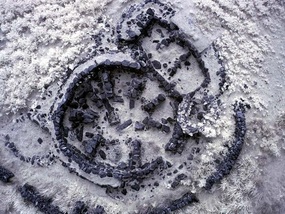
Wheelhouse - Iron AgeAn impressive set of remains although controversial as it was excavated by an amateur and there is some concern as to how much he "re-created" the site. That said, it really gives you a feel of what a wheelhouse was like.
The image is a Near Infra Red kite image of the site (copyright West Lothian Archaeological Trust). The header of this page is another view of the site. The finds included Viking pottery and showed evidence of continued occupation of the site well after the Iron Age period. This link takes you to a site about the wheelhouse. |
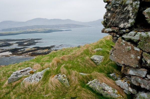
St Michael's Chapel, Kallin - MedievalOverlooking Kallin harbour are the remains of St. Michael's Chapel. Built in the 14th century, if not earlier, the remains are in an impressive location and form part of a rich early Ecclesiastic history in the area.
A site that fascinated the Victorians with respected antiquarians Alexander Carmichael and Captain Thomas both writing about it in 1871 and 1890 respectively. |
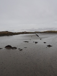
Agricultural improvement - ModernSome time around 1827, embankments one hundred metres long and two high were built and created 38 Scots Acres of good agricultural land by Seana Bhaile in NW Griomasaigh. Unfortunately in 1868 the embankments were breached and all that remains now are the old field boundaries as in this image.
|
Find out more
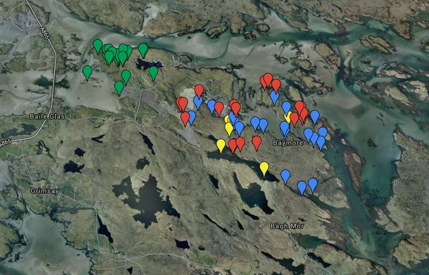
This is the NW corner of Griomasaigh, an area called Bagh nam Feadag or Bay of the Plover. Each flag here is a site of some archaeological interest in the area. Clicking on the image above takes you to a Google map where you can more information about each site.
This document contains more detail about this area. |
Clicking on to the image above opens up details of a walk around the Bagh nam Feodag area that includes the more interesting sites there spanning 2000 years of history.
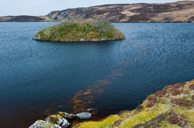
One of the sites included is Dun Ban, pictured above. You can just make out the submerged causeway leading out to the dun, an example of one of these enigmatic Iron Age sites. |
