Illeraigh (anglicized Illeray) is another area we are interested in. The area has a ruined baile tuathe - an old pre-crofting farming community of a type called a tenant township - as well as deserted croft buildings and older sites. The baile was abandoned in 1811 when the land of Illeraigh was divided up into crofts and all the inhabitants moved away to build croft houses on their own land. There is evidence that the township herdsman continued to live in a shieling created from one of the buildings of the old baile. The Crawford document has some information on the more recent history of the site and indicates there is documentary evidence for a settlement here leading back to 1505 at least. Indeed it probably dates to before 1389 when the site gets a mention in the Charters of Inchaffrey Abbey.
The area has been subject to flooding by the sea - in the sand in the photo above you can see a line of stones - the wall of a cattle enclosure that is still in the local oral tradition. It is thought this flooded in 1865, flooding a large area of valuable arable land at the time.
Medieval or later rural settlements - often called MoLRS - are an understudied set of sites and the variety of periods of occupation of Illeraigh make it a good site to use to try and unravel at least some of the history of the settlement which probably dates back to the Iron Age if not earlier.
This link takes you to a page where how we have tried to align the Reid Estate Plan of 1799 with the sites currently visible. This will enable us to identify the style of buildings extant in 1799, or at least built before that time.
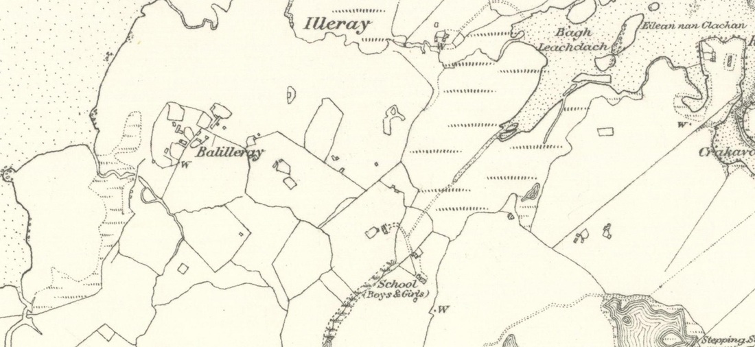
OS 6" First SeriesSurveyed around 1860.
|
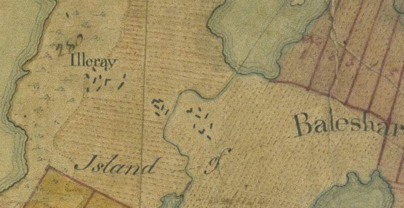
Reid Estate PlanCreated in 1799
|
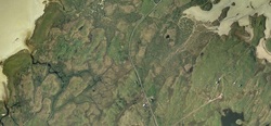
Google MapA snapshot from 2015
|
