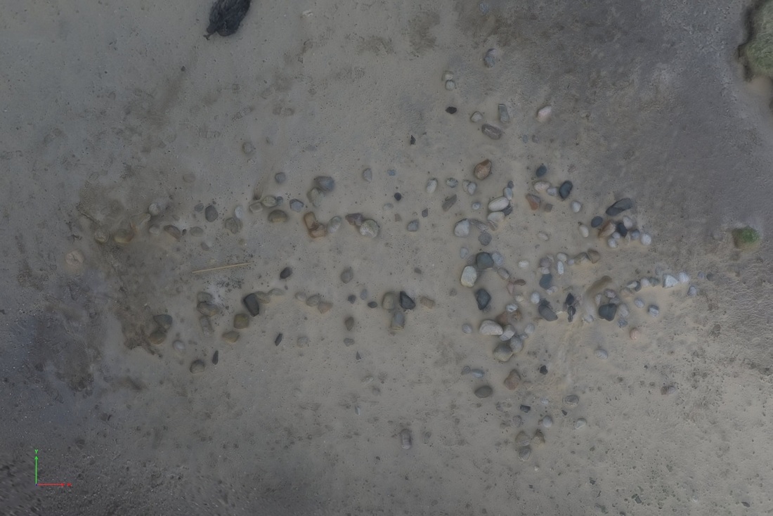
Site 9358 Cruciform shape
|
SCHARP stands for Scotland's Coastal Heritage at Risk Project and has been established by the SCAPE Trust (Scottish Coastal Archaeology and the Problem of Erosion) - a joint venture between St Andrews University and Historic Environment Scotland to monitor coastal sites, particularly those in danger from erosion. The core of the project, assembled over the past few years by hundreds of trained volunteers, is an online database of over 13,000 coastal sites around Scotland. As well as recording new sites, volunteers also monitor so called 'red' sites - those most at risk - annually, and update the register using a clever mobile phone app which does not require a phone signal to use on site. For more info click on the SCHARP link above.
Above is a photo of a structure on Baleshare beach on the west coast of North Uist that is steadily eroding out and will soon be lost. We also create 3D models of the sites to help monitor changes over time more accurately and some can be seen here. Click on the image to download the pdf file to your computer and then open it with Adobe. When opening you will be asked if you trust the model so click yes and then if nothing happens press the "?" in a box at the top left of the pdf screen. More help can be found here. |
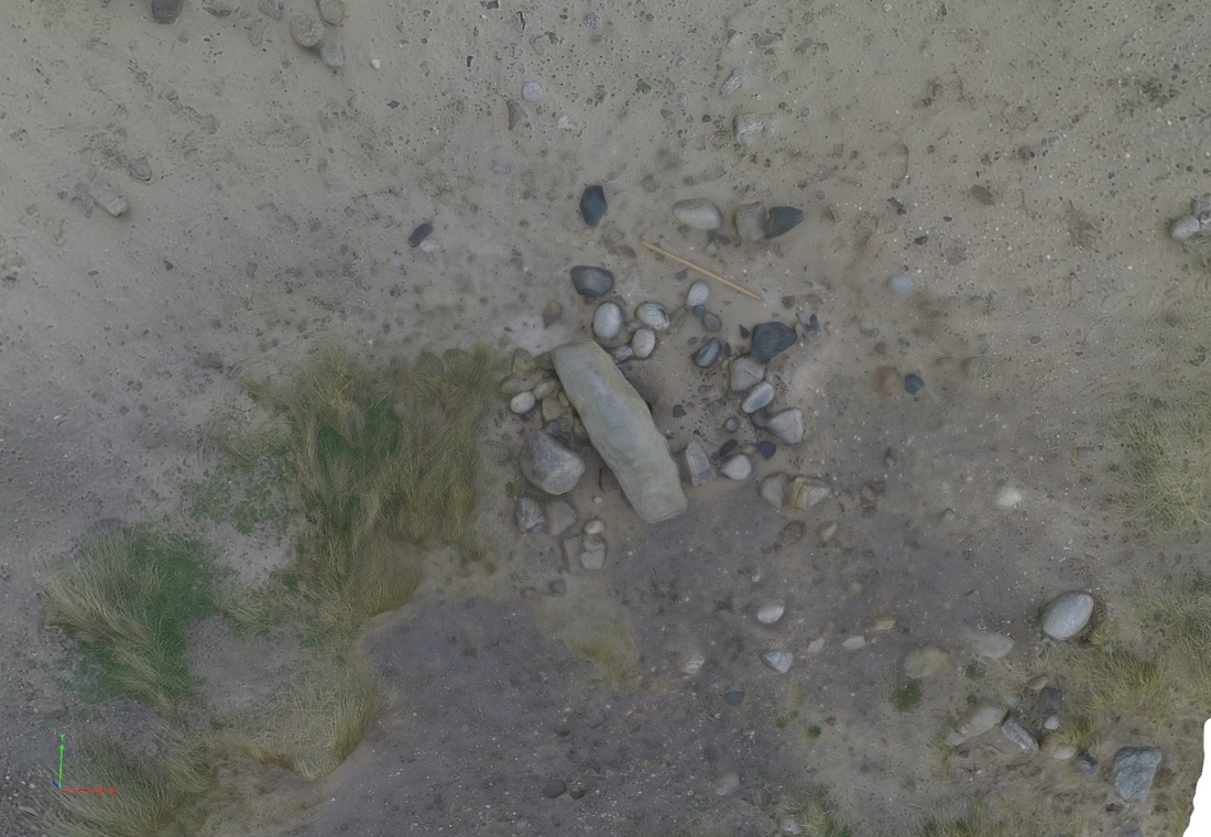
Site 9358 Slab
A slab set into the midden.
|
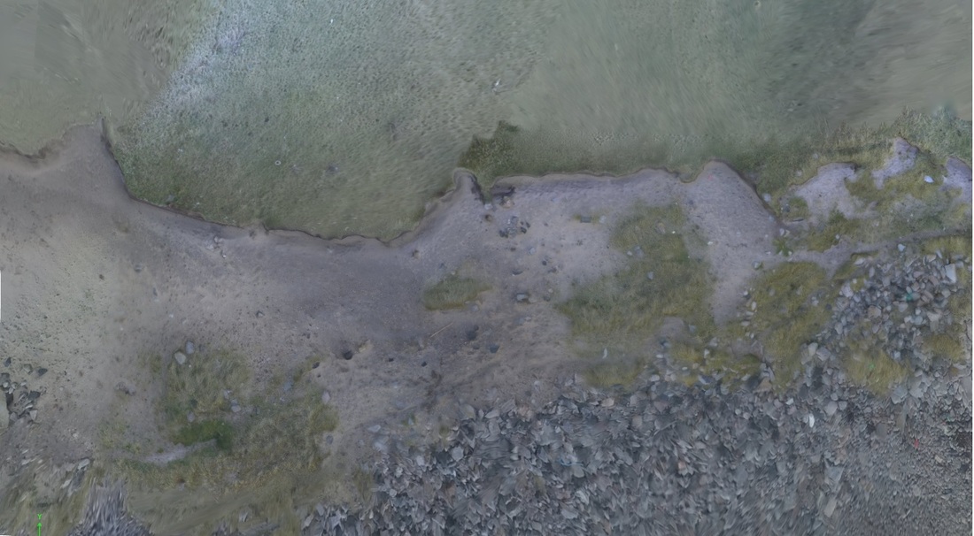
Site 9358 Midden S end
The S end of an extensive midden.
|
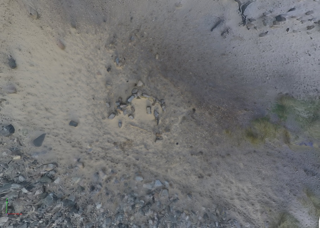
Site 9358 Midden N end
The N end of the midden including a cell like structure - probably modern.
|
